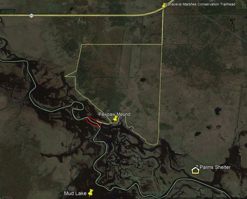
Last weekend I ended up hiking to Paw Paw Mound with Ray. I say ended up because that was not part of the original plan. While I had originally contemplated Paw Paw, with temperatures forecasted to be in the high 80’s, I was not real thrilled about the idea of having to cross sloughs that were a bit deeper than average for this time of year. With the recent rain the gage height at SR50 bumped to 4.6 feet, and with the heat, we knew alligators would be active.
After looking at Google Earth, I co-conspired with Ray during the week to maybe do some exploring of a section of river not easily accessed from either launching at the power lines, SR50 or 520. This section of river is near 528, and while Luc Desjarlais does offer up a potential access by way of Old Road Trail in his book, the wooden foot bridge to cross the canal has washed away since its writing. Crossing the canal the wet way, did not sound appealing with potential gator activity.
Instead Ray and decided we wanted to give the Main- Back trail a shot, which looked to be around a mile hike to the river, and from there we would be high and dry, and would either see if we could find fish in the west channel, or find a shallow spot to cross and try the east section. Additionally we could walk upstream to potentially access the section of river that Old Road Trail previously provided access to.
As they say, the best laid plans of mouse and men often go awry. After picking Ray up at 7am, stopping for provisions, making the 45 minute drive to the gate, navigating around a running club that was entering the gate as well, and then driving another 20 minutes on the dirt roads within Tosohatchee, we arrived at the Main-Back trailhead only to find it completely flooded all the way to the road from the recent rains. Crap!
After contemplating an upstream hike to fish the first couple of bends from Powerline Road which both of us had already fished this year, we decided instead to drive to the Canaveral Marshes trailhead and hike to Paw Paw mound, something new for both of us.
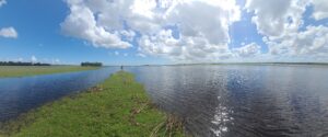
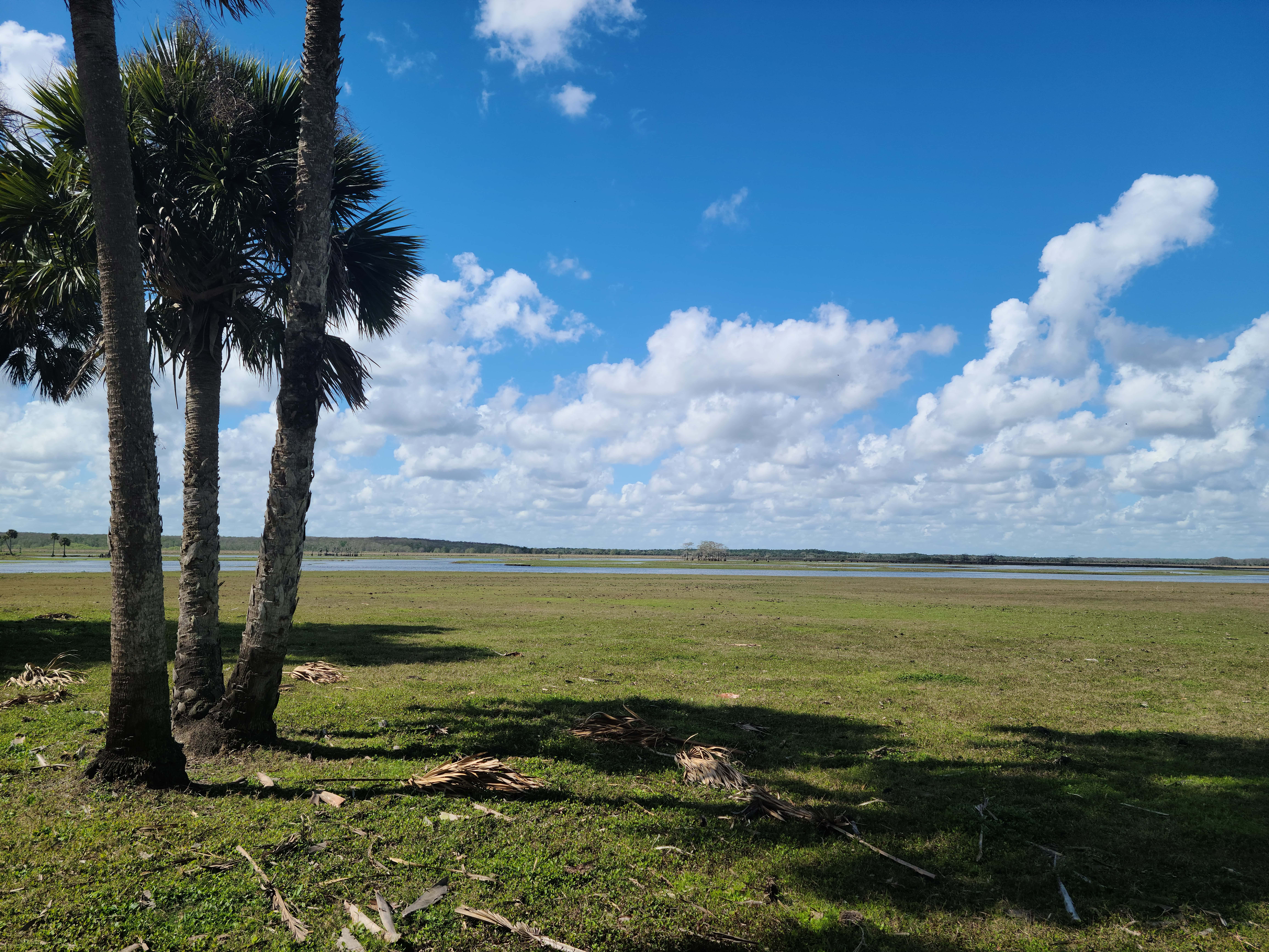
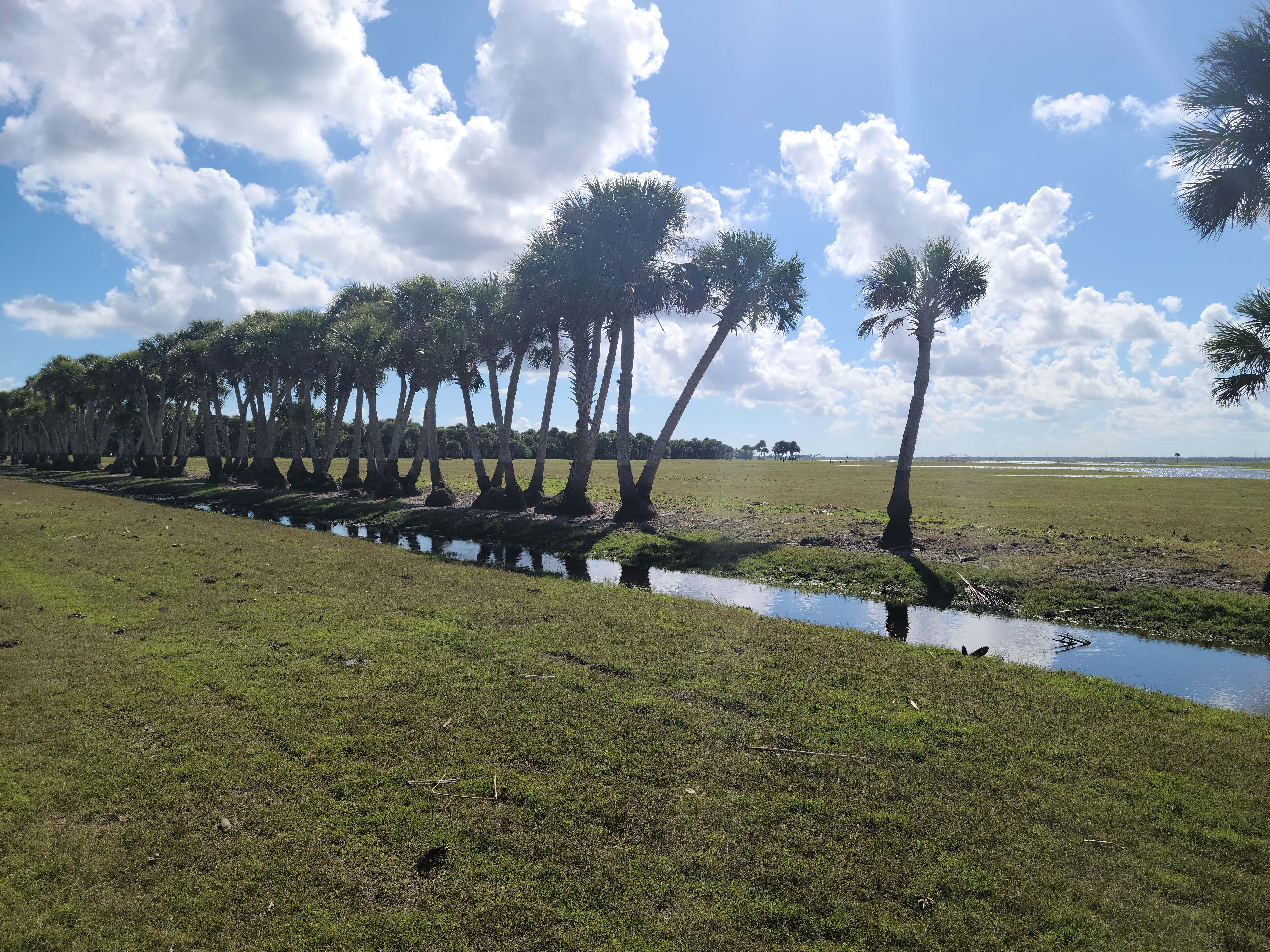
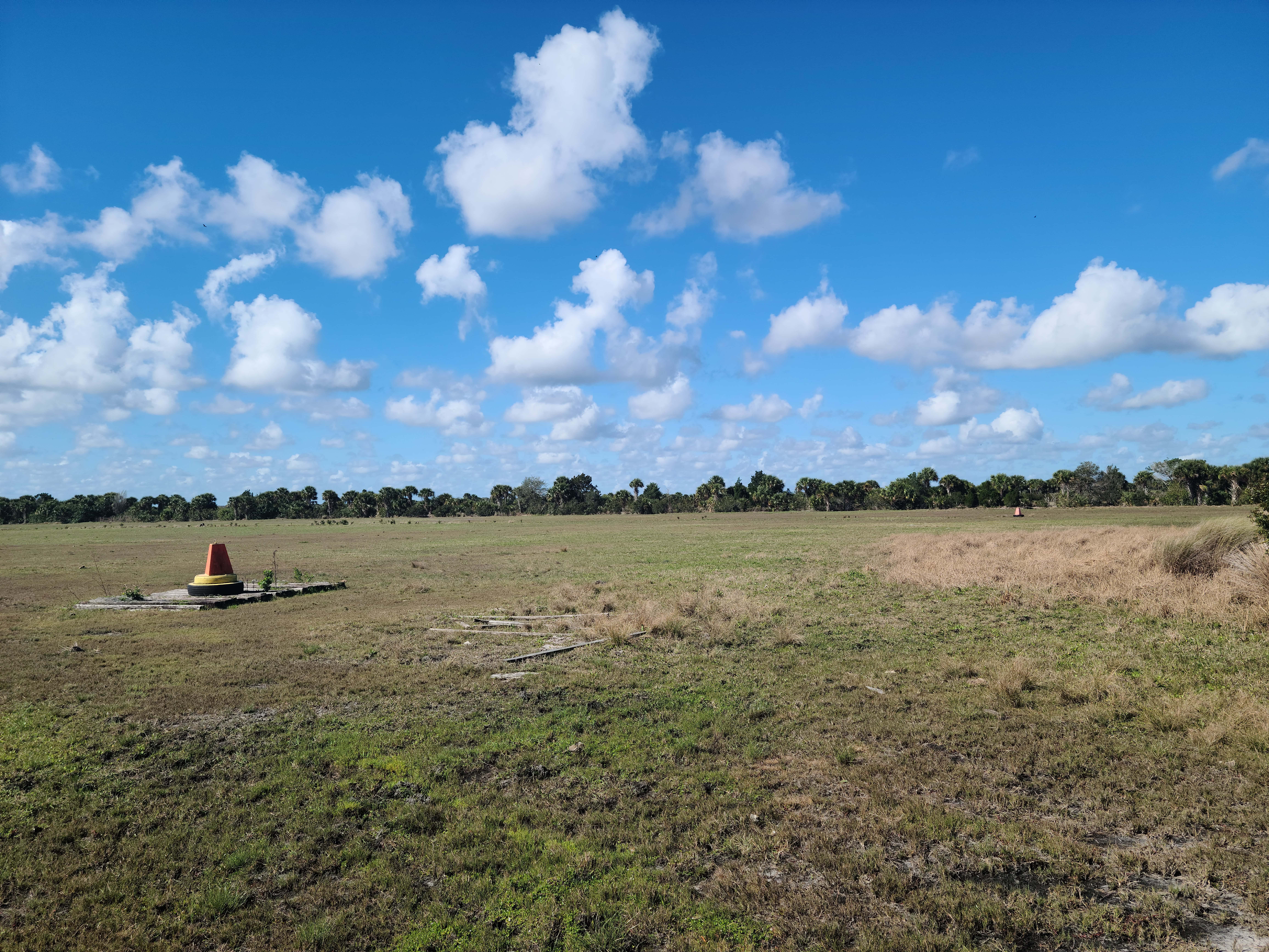
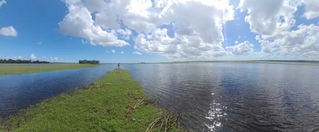
We decided to take the trail that heads west off of the southbound service road to make the hike. This takes you right past the helicopter training area, so if hiking during the week, you may get to see them train up close and personal. After making it to the end of the road, we found a fence, which you can unlatch and enter. You then follow the fence line until you reach the pasture and you are rewarded with gorgeous panoramic views. You can basically see all the way to 50 in one direction, and all the way to Paw Paw mound in the other direction.
While taking the trail west does add an extra half mile to get to Paw Paw compared to taking the southbound trail and then following the water line northwest, the extra distance is worth it because it is basically high and dry and an easy hike (at least when the gage is under 5 feet.) We suspect that it may be very doable above 5 feet, but accessing the water you want to fish might be difficult because the sloughs you would need to cross would be at best guess, thigh to waist deep. Doable, but only on a cold day.
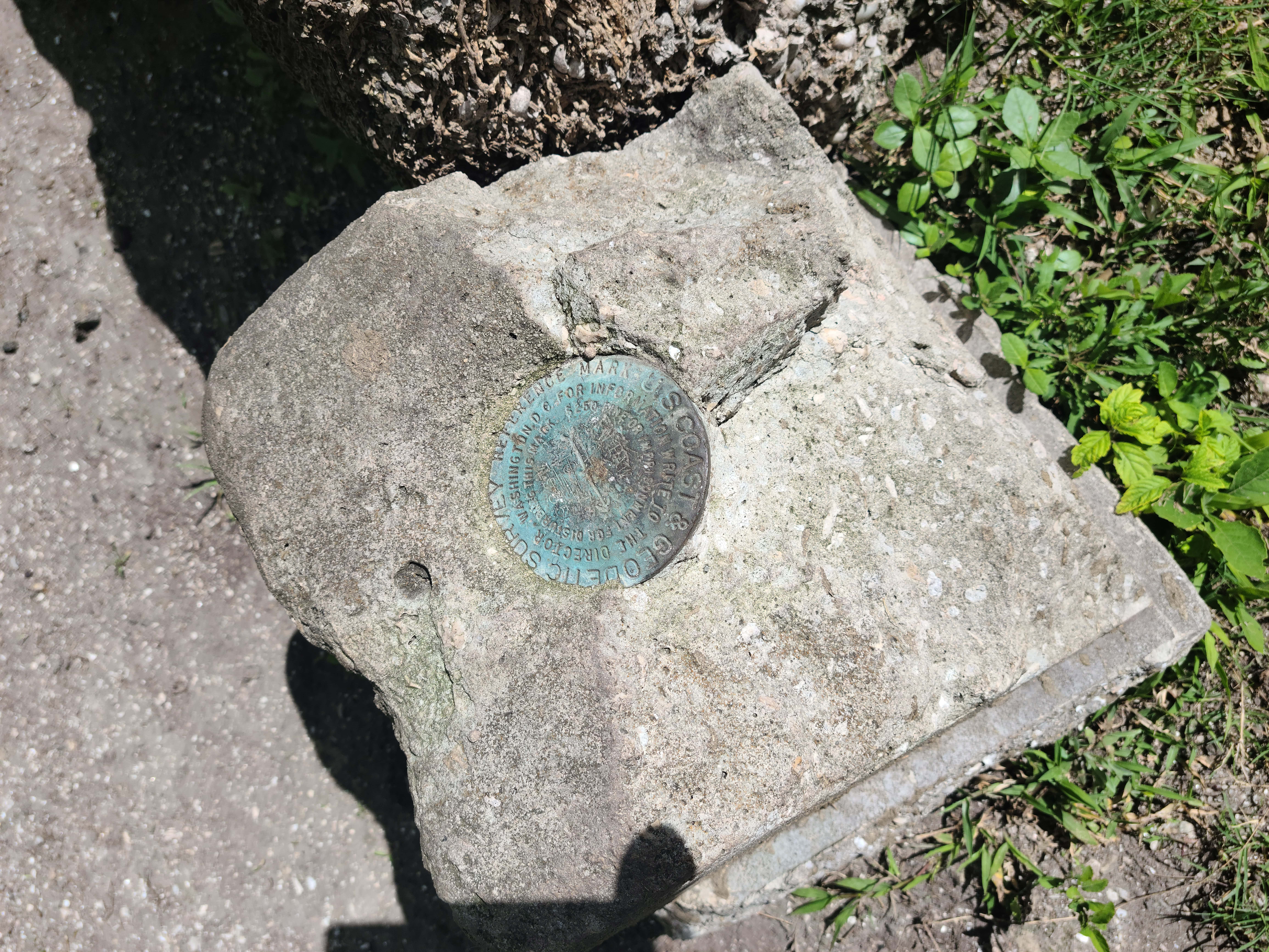
When we arrived at Paw Paw mound, we were surprised to find some guys already there. Louis, Jeremy and Oakley were doing some exploring and recording videos for the 21st Century Expeditionist and Wild Florida Facebook groups. They showed us some ancient pottery shards and a couple of fossils. Very cool, and super nice guys!
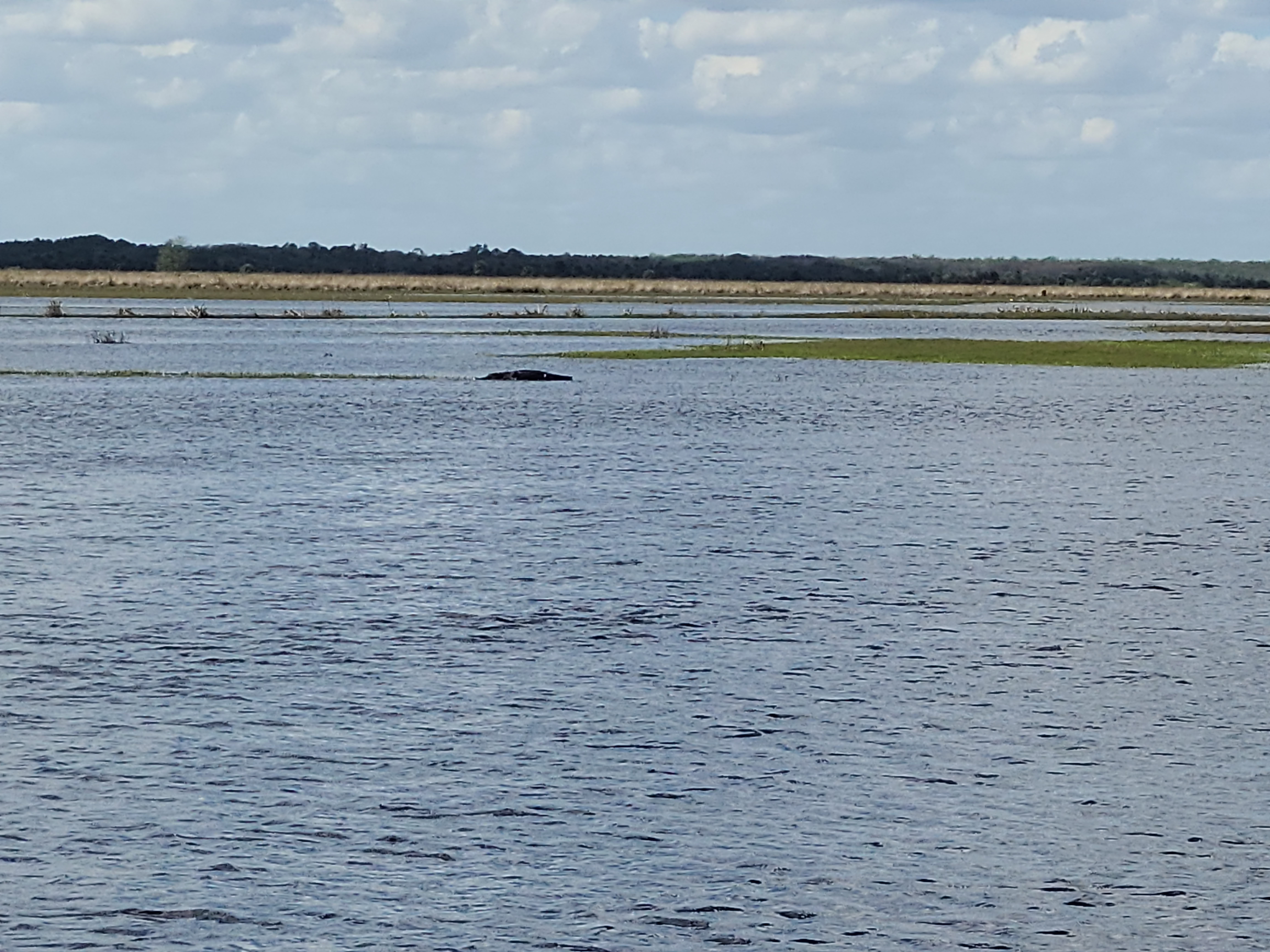
After studying the water around us, and a quick call to Todd for advice, Ray and I found a shallow area to cross the sloughs to gain access to the edge of the shoreline accessing the straight main channel run. This shoreline was just barely above the waterline, but the sloughs were no more than about shin to knee deep where we crossed. Here we found awesome current and some depth, along with numerous large alligators in the water. I fished the single hander (for the first real time of the season) and Ray threw the switch. I worked downstream, casting, swinging the fly, and moving 5 steps at a time, considering whether I would be willing to cross the wider area of the slough to get back to dry land. About that time I noticed two heads between me and shore, and decided not to proceed further downstream, but rather head back to where Ray was fishing. After about an hour or so of fishing, we were pretty convinced the shad were not there, likely falling back in to deeper pools as the water warmed.
The airboats had gathered at Paw Paw by the time we walked back. We decided to eat some lunch and drink a beer. We contemplated making our way down to 7 Palms, and as the airboats left in that general direction, we decided to see what the hiking conditions were like heading that way, knowing we could pick up the main trail, rather than make our way back the way we had originally come.
The hike in this direction was still fairly muddy, although not terrible. Your natural inclination was to hug the high grass, but with the streams running through it, that was just muddier and buggier. Sticking to the shoreline was actually better. As we reached the junction, and with another half mile hike ahead of us to get to the shelter, we decided we had had enough of the 88 degree heat, and didn’t want to go fish with all the airboats at 7 Palms. Instead we made the two mile hike back to the car, and enjoyed a frosty beverage.
In all, we covered around 6 miles. I am not sure I would do it again in the heat, but I will definitely do it again in the future, just a little bit earlier in the season when there should be more fish hanging around. I could see this run being every bit as good as the main run in front of 7 Palms, you just have to catch it at the right time.
