
I set out for the first trip of the season last Saturday, and continuing on with tradition, fished with Todd on New Year’s Eve. This year, Ray also joined us on his boat which made for a great time. With the gage upstream of Lake Harney at 5.1 feet and after much deliberation, we decided to forgo a trip to C.S. Lee as at that water level, the traditional places we enjoy fishing at would be well underwater. Instead, we opted to put in south of SR50, as even with the gage at 6.25 feet there, we figured we would be able to find some high ground and get out and fish, particularly as the river looked to be within its banks when I crossed over it on SR528 that week on a trip to Satellite Beach the day after Christmas.
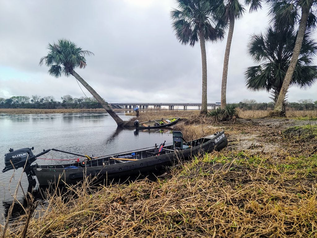
We met at Tosohatchee around 8:00am under a dense fog advisory. Due to hurricanes Ian and Nicole this year, Powerline Road (the direct path to the river) is closed due to damage, and likely will be for the foreseeable future. Evidently the WMA and the power company are pursuing litigation as to who exactly is responsible for repairing the damage. There is an alternate, indirect route to the river, but should you decide to explore it, you should be aware that it adds a solid 30 minutes on dirt roads to actually reach the river once on property. Keep that in mind for your return trip too, as driving on the roads after sundown is strictly prohibited.
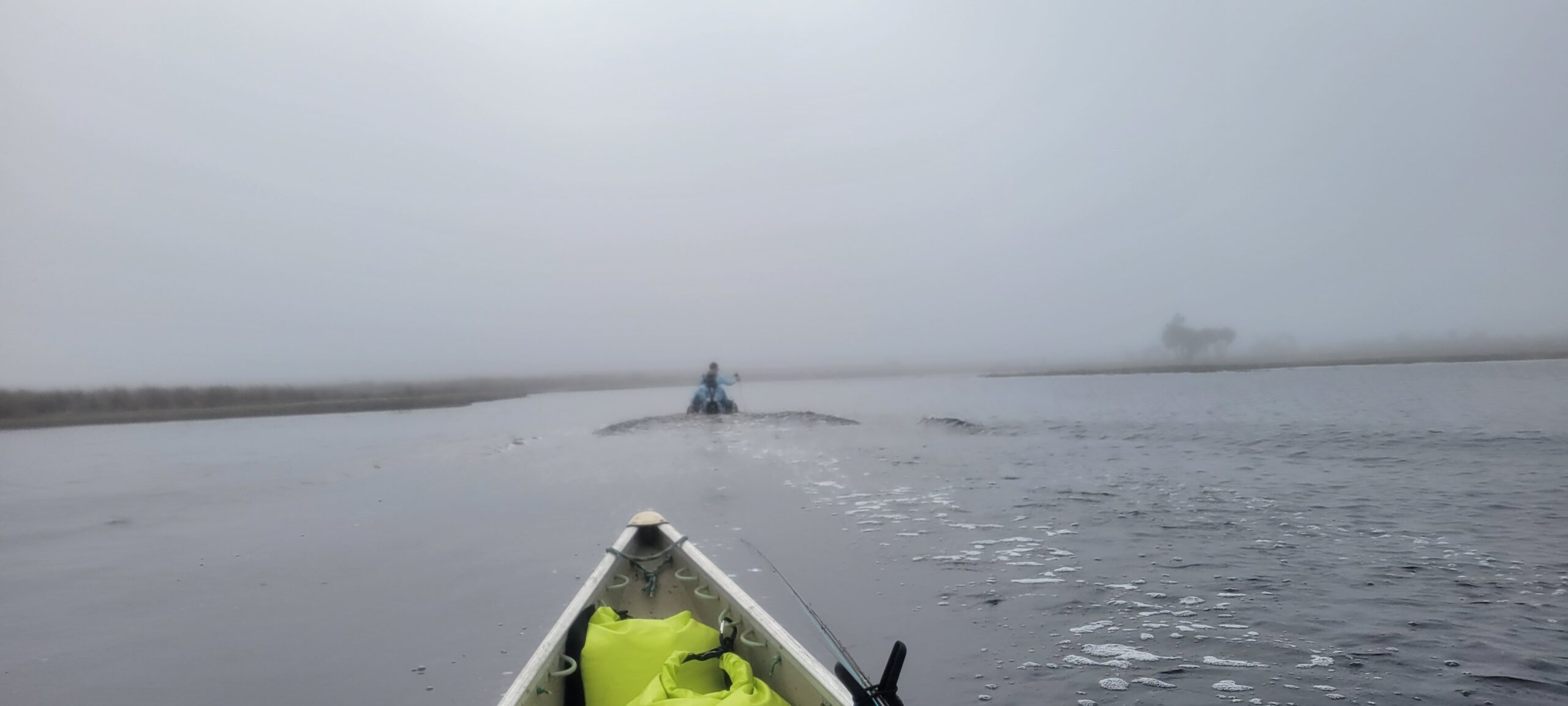
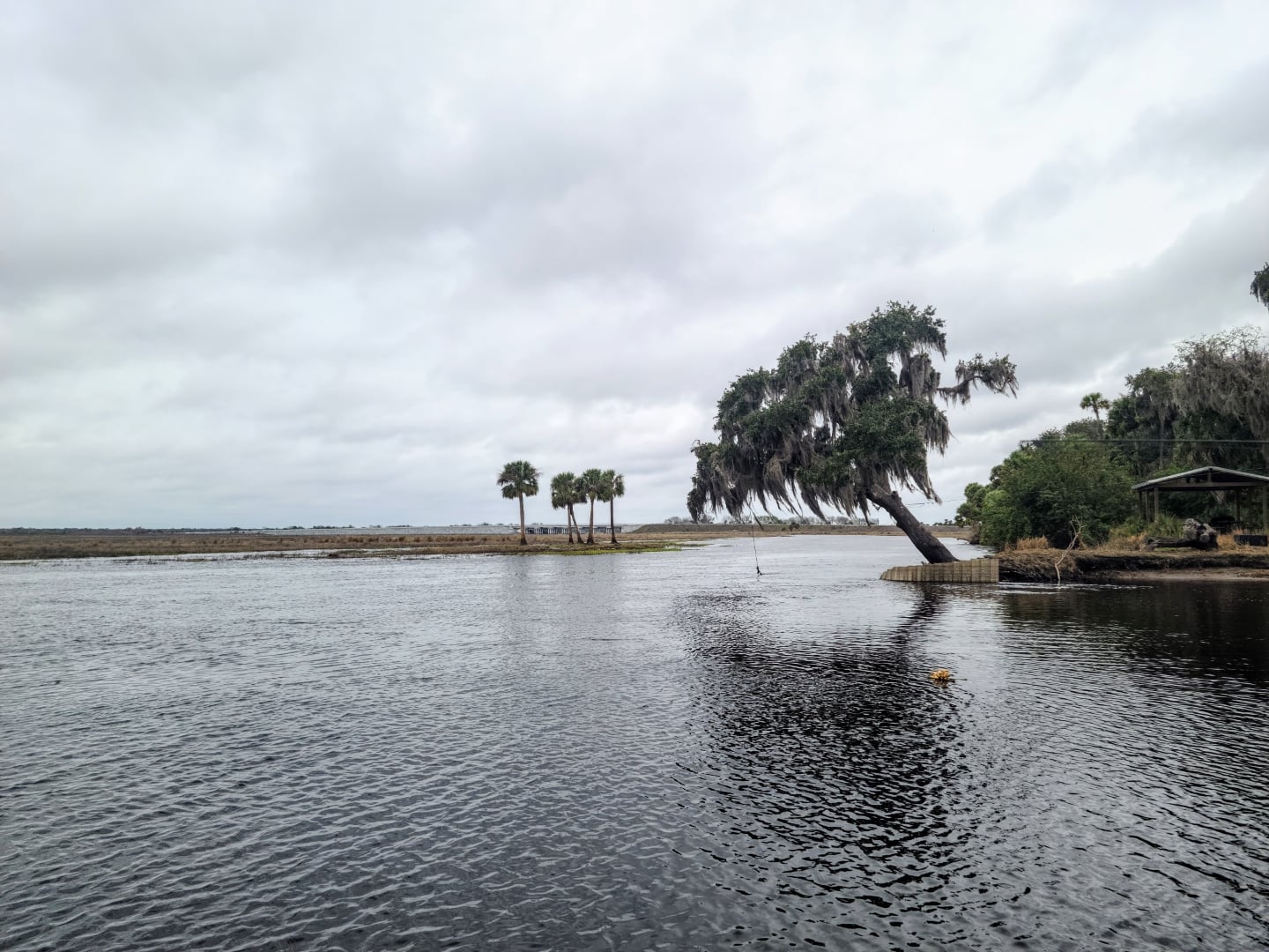
Upon reaching the river, we saw the reality of that dense fog advisory as you could barely see the other side of the river. After some initial hesitancy, we loaded the boats up with the gear, and Todd and I took a test run in the Sportspal S-15 with the new 6hp I bought over the summer. I circled back to make some minor adjustments to the steering and throttle tensions on the motor, and Ray quickly joined us on the water, well… maybe a little TOO quickly. You see in Ray’s haste, and after a long summer not running his Indian River Eagle, he forgot that upon embarkation as well as disembarkation, it is prudent to get one’s hands on BOTH gunwales before attempting to raise that second leg above the waterline and into the boat. Let’s just say that Ray channeled his inner Wim Hoff (while wearing waders) and leave it at that. 🙂
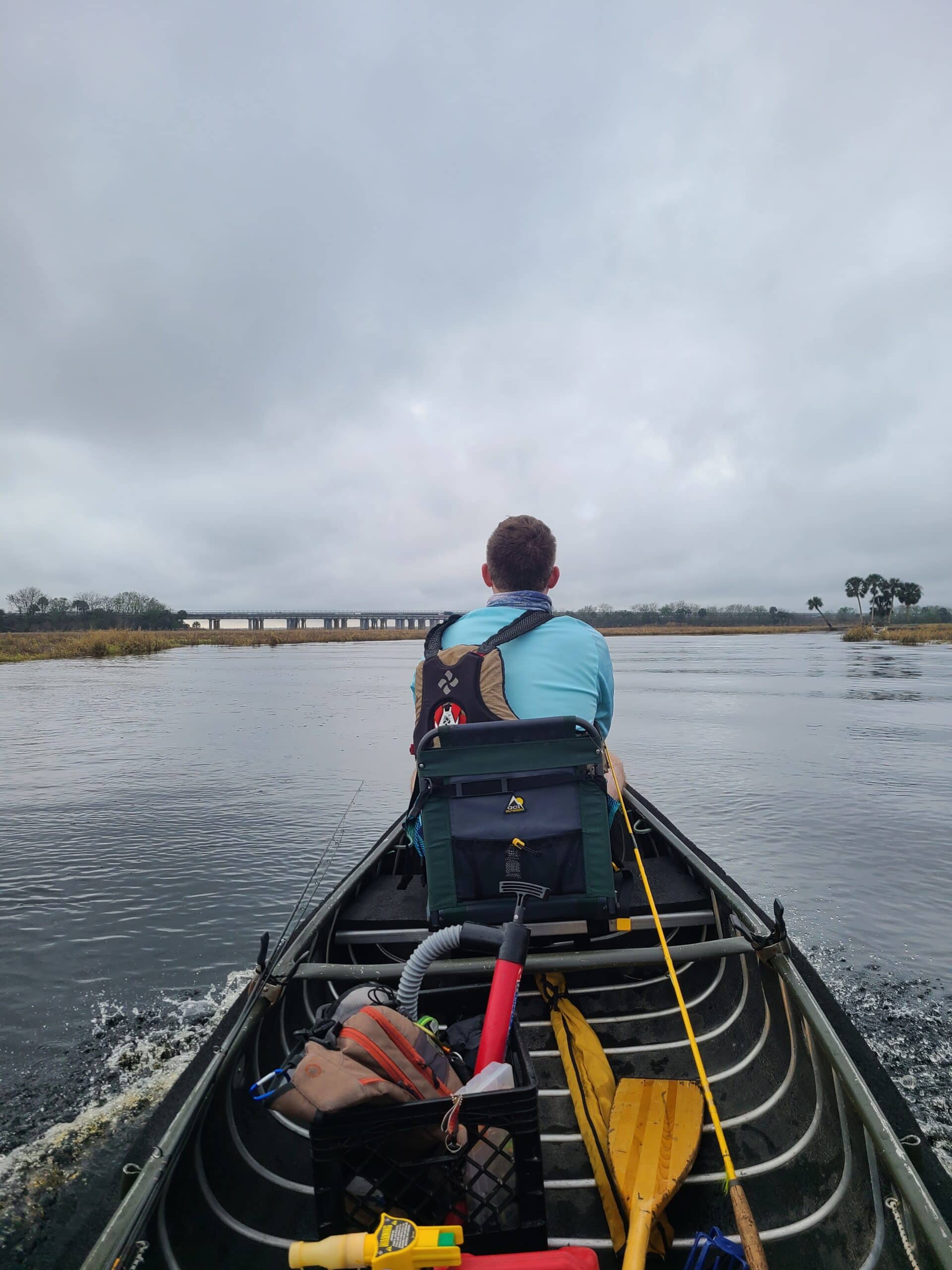
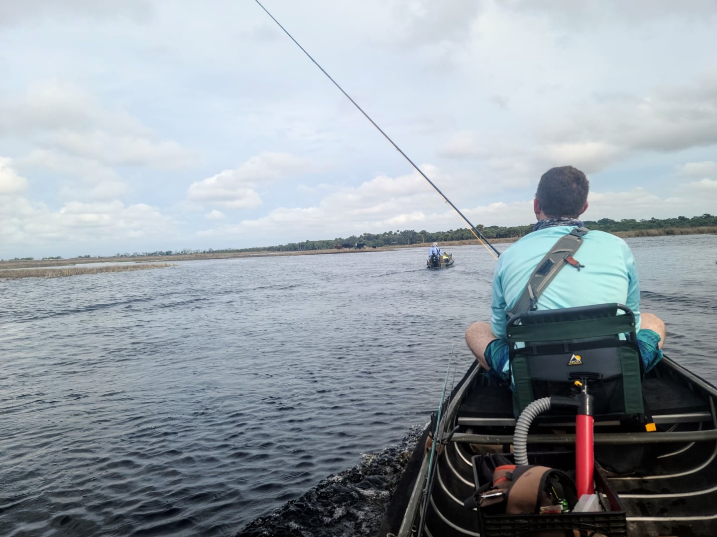
We made our way upstream through the flooded braid of channels while bumping our way through the fog. With the water over 6 feet most of this section of river between Powerline Road and SR528 is still underwater which makes navigation complicated even on a clear day. Following the current helps, until it doesn’t, as you can easily be deceived by what you think is the channel only to find yourself bumping bottom or jumping out to push. Having the channel marked on your phone helps but is far from perfect. Surface drive motors definitely have the advantage anywhere south of 50.
After a good hour of running we made it to Canaveral Marsh Mound and fished the run just downstream for about 30 minutes with no luck. We decided to push further upstream than any of us had ventured in previous years and fished the pool at Possum Bluff. Possum Bluff is quite literally in the middle of nowhere and just about an equal haul from SR520 as it is from SR50. With the water as high as it was, we found fishing the pool and run above it challenging. While there was “dry land” to stand on, reaching the channel was another story. You would be better served drifting it from the boat if you have one comfortable enough to fish from.
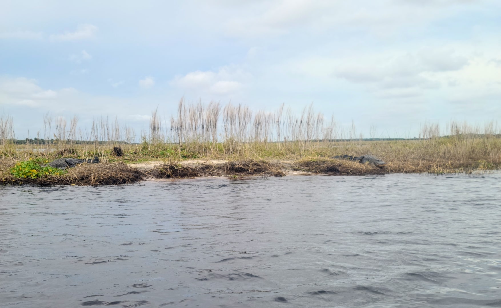
With no luck finding fish at Possum Bluff, we scouted another two turns upstream but saw no signs of fish. We chose not to get out and blind cast in two specific spots we wanted to try, as one had alligators parked on the bank, and the other had bulls. Just another day of fishing for shad on the St. Johns River.
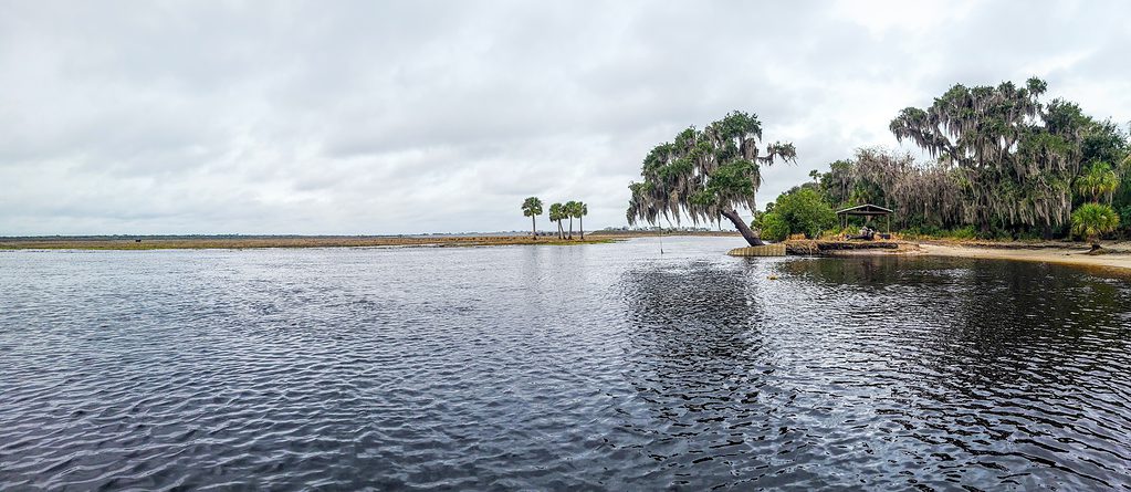
With absolutely no signs of fish (shad or otherwise) upstream of Tosohatchee, we decided to motor downstream to 7 Palms later that afternoon. Again, there was dry land to stand on and if brave enough, firm bottom to wade in. The weather was warm enough that Todd and I chose to wet wade. Unfortunately, there were plenty (10+) of alligators in the water with the same idea, so again, reaching the channel was not feasible. Again, you would be better served drifting it by boat.
We put in some 14 river miles and did not find fish. None, nada, zilch. It was still a good time, and truth be told, I needed to finish breaking in the new motor, so I did not mind doing some exploring. We continue to put our eyes on places we have otherwise just read about, and that will continue to pay off over time. The more you do it, the more comfortable it becomes. That said, the reality is that high water makes things more challenging for those of us with small boats that like to get out and wade. You are better served drifting the runs with current in something bigger and more comfortable… IF you can find your way through the flooded maze. 🙂


I fished the area a few years ago when the water was also very high and used a depth finder and gps to follow the chanels,
That is certainly an option if you have it. In my experience, the channel markings in the Navionics maps leaves a lot be desired south of SR50. But using a depth finder probably helps.
Nice read; thank you, Chad.